The current event
How did a format difference move a waypoint by about 12 nautical miles?
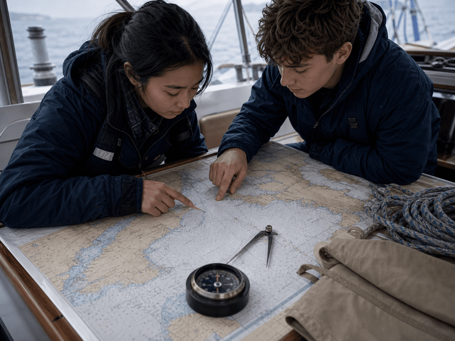
On 21 August 2026, the Golden Globe Race reported an instructive moment from its pre-start SITRaN Challenge Prologue. Seven boats did not complete a technically valid rounding of one virtual waypoint. The specified latitude was 46°30′N, equivalent to 46.500°N. Some navigators entered 46.30°N, which is 46°18′N—about 12 nautical miles farther south. Others passed on the wrong side; one missed by only 25 metres. Because this was a training and systems-check event and no protest was lodged, the organizers applied no penalties.1
This is not an error to mock. It demonstrates what training is for: exposing weak points in formats, equipment, communication and judgment before the fleet enters the Southern Ocean. The boats were then due to undergo checks covering safety and emergency gear, communications, rigging, navigation equipment and compliance with the race’s traditional-technology rules.1
In a final pre-publication check on 25 August 2026, the solo, non-stop and unassisted round-the-world race remained scheduled to leave Les Sables-d’Olonne, France, on 6 September. Competitors are to navigate traditional yachts with sextants, compasses and paper charts.12
Coordinate literacy
The digits were valid. The reading was not.
Latitude and longitude commonly appear as decimal degrees (DD), degrees and decimal minutes (DMM), or degrees, minutes and seconds (DMS). The punctuation is part of the data model, not decoration. The U.S. Geological Survey explains that one degree is divided into 60 minutes, and one minute into 60 seconds; when converting decimal degrees, the fractional part is multiplied by 60 to obtain minutes.5
So 46°30′ is not another typographic way to write 46.30 degrees. In the first expression, 30 means 30 minutes, or half a degree. In the second, 0.30 is a decimal fraction of one degree, equal to only 18 minutes. An input field can accept every character while remaining unable to check which format the navigator had in mind.
Tradition and digital systems
This is not a victory for old tools over new technology.
The Golden Globe Race deliberately limits competitors to yachts and navigation methods close to those available in 1968: no GPS, electronic charts, or modern digital weather routing; instead, sextants, paper charts, mechanical clocks and paper logbooks. The constraint magnifies foundational seamanship, endurance and independent judgment.21
Yet the 2026 race does not pretend satellites do not exist. During the prologue, organizers tested a one-way live system that can transmit selected video and boat data ashore while sending no messages, weather, internet data or navigation assistance back to the skipper. Technology can let the public witness a voyage without steering it.1
China Maritime Day 2026 adopted the official theme “Digital Intelligence Empowers, Navigating the Future,” with its forum addressing intelligent shipping, green-shipping integration, supply-chain transformation and maritime talent. A retro navigation challenge and a digital maritime agenda are not opposites. New tools expand sensing and calculation; only people who understand formats, limits and consequences can turn those tools into capability.34
A reusable field asset
The 60-second navigation check
These five questions extend beyond the sea. Use them before route planning, outdoor activity, team decisions, or accepting a number that merely looks precise. Precision is not the same as correct understanding.
01 · Source and time
Where did this information come from, when was it updated, and does it still apply now?
02 · Format and unit
Are degrees, minutes, seconds, decimal degrees, nautical miles, kilometres and chart datum explicit?
03 · Independent check
Can a second chart, device, calculation method or qualified person verify it independently?
04 · Conditions and assumptions
Have weather, current, visibility, equipment or crew condition invalidated the original plan?
05 · Stop condition
What will trigger a stop, return or diversion—and who owns the final decision?
Families or classrooms can compare the two coordinate formats safely on land and ask learners to explain and cross-check the difference. This article is not a marine-navigation tutorial. Any youth water or outdoor activity requires qualified adult supervision, suitable equipment, a compliant venue, weather assessment and clear stop conditions.
Our direction
Learn to read direction before speaking of the world.
THE ZHENG HE RALLY draws from Zheng He’s spirit without replaying an old route or presenting an unmade expedition as fact. Its public geographic language remains JIANGSU → HAINAN → THE WORLD: Jiangsu is the starting point; Hainan is a strategic direction and southern gateway, with the specific location to be announced; “the world” describes open, long-term chapters—not a scheduled, permitted or finalized race route.
The difference between 46°30′ and 46.30° is a useful reminder: direction is not a slogan, and vision cannot skip verification. Every serious expedition starts with a plain question—where are we now, before we decide where to go next?